The Foum Zguid desert map: ergs, lake and tracks
By the Desert Foum Zguid team · Updated 14 August 2026
Where exactly is Erg Chigaga? Where does the tarmac end, where does the track begin, and where is that famous dry lake? Here is the map we have been drawing in the sand for our guests for years — cleaned up, with the real distances and the coordinates of the places.
Reading the map in thirty seconds
Everything is organised around one line: Jbel Bani, the long black mountain separating the world of roads from the world of tracks. To the north, tarmac — the N10 from Ouarzazate or Agadir, the N12 towards Zagora. To the south, nothing but desert. Foum Zguid sits exactly on the seam, at the mouth of the wadi: that is why the village is the most direct gate to Erg Chigaga, and why all our tours start there.
The real distances
| Route | Distance | Time | Surface |
|---|---|---|---|
| Foum Zguid → Erg Chigaga | ≈ 60 km | 2.5 h | track |
| Foum Zguid → Lake Iriqui | ≈ 40 km | 1 h | track |
| Foum Zguid → Erg El Mhazil | ≈ 60 km | 1.5 h | track |
| M'hamid → Erg Chigaga | ≈ 60 km | 3.75 h | track |
| Marrakech → Foum Zguid | 420 km | 4.5 h | tarmac |
| Ouarzazate → Foum Zguid | 160 km | 2.5 h | tarmac |
| Agadir → Foum Zguid | 360 km | 4 h | tarmac |
| Zagora → Foum Zguid | 130 km | 2 h | tarmac |
Track times assume a 4x4 driven by someone who knows the terrain, with the usual photo stops. Allow more after rain.
Coordinates of the key places
| Place | Latitude | Longitude |
|---|---|---|
| Foum Zguid (centre) | 30.082 N | 6.876 W |
| Lake Iriqui (dry lakebed) | 29.883 N | 6.350 W |
| Erg Chigaga (camps area) | 29.817 N | 6.533 W |
| Tissint (waterfalls) | 29.905 N | 7.322 W |
Indicative coordinates (see FAQ). The precise track waypoints are provided to our guests at booking, updated to the state of the terrain.
What the map explains about our routes
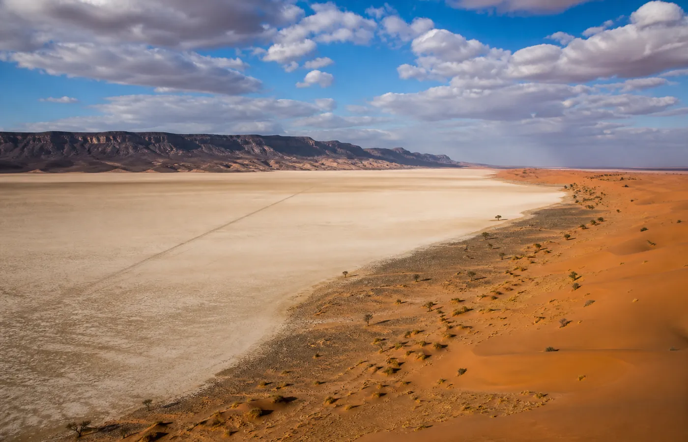
Look at Lake Iriqui's position: it sits exactly on the Foum Zguid – Chigaga line. That is our village's geographic argument — it is impossible to reach the great dunes from here without crossing the vanished lake, while the longer M'hamid track passes on the erg's other side. The same logic goes for Erg El Mhazil, set halfway to the south-west: close enough for a spontaneous night, isolated enough to meet nobody. Our 4-day grand tour can be read straight off this map: a loop across the lakebed, two ergs, and a return along the foot of the mountain — never passing the same spot twice.
Frequently asked questions
Can we follow these tracks with Google Maps?
No, and it matters: navigation apps draw fanciful routes across the dry lakebed and ignore the real state of the crossings, which changes after every rain. On the piste, the reference is still the guide who drove it yesterday. If you drive your own 4x4, ask us for the up-to-date GPS points: we share them gladly with our guests.
Are the GPS coordinates given here precise?
They place the sites to within a few hundred metres — enough to orient yourself, not to navigate at night. The precise waypoints (lakebed entries, post-rain detours) evolve, and we provide them up to date at booking.
Why a schematic map rather than a satellite one?
Because it shows what matters for deciding: relative distances, what is tarmac and what is not, and the lake's position between the village and the erg. For satellite beauty, open any virtual globe on 'Erg Chigaga' — the show is guaranteed, the orientation much less so.