What is Lake Iriqui?
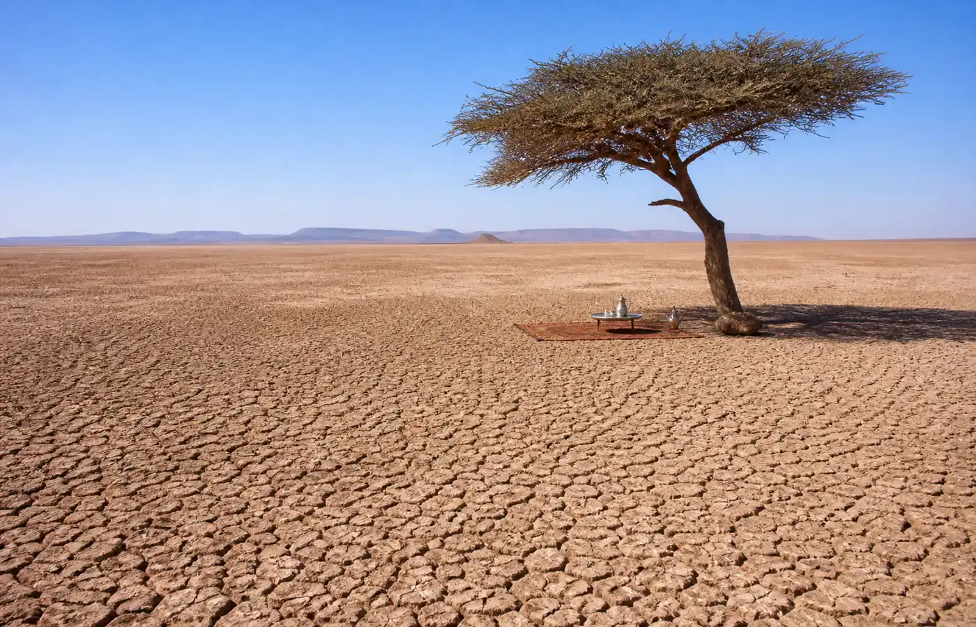
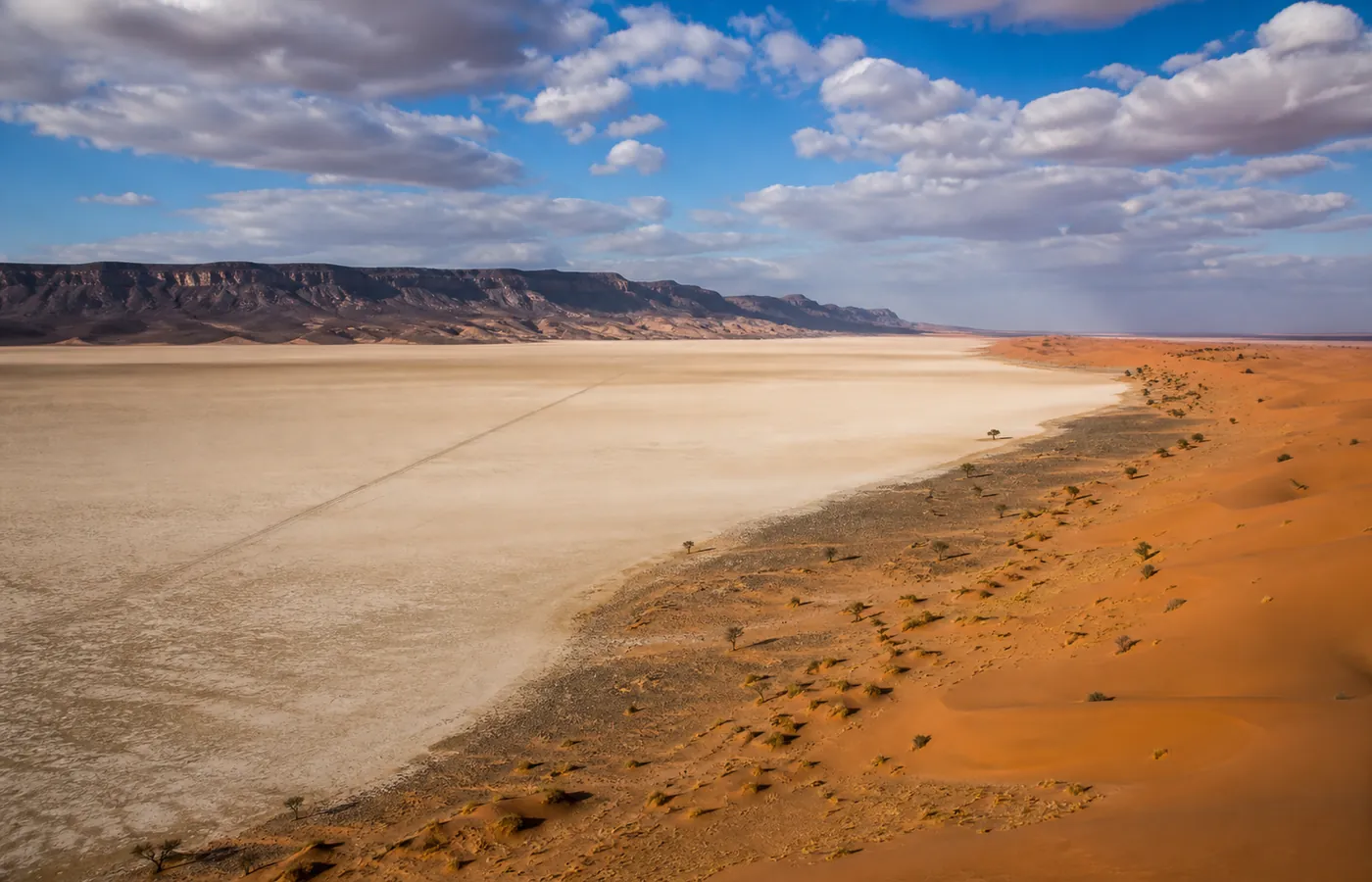
Lake Iriqui (also spelled Iriki) is a sebkha — a dried Saharan lake — about 60 kilometres long, lying between Foum Zguid and M'hamid El Ghizlane, south of Jbel Bani. Until the 1970s the Draa river still fed it regularly; the El Mansour Eddahbi dam near Ouarzazate ended the floods, and the lake withdrew, leaving a perfectly flat clay bed that the wind polishes like a mirror.
That spectacular emptiness is its beauty: at sunrise the white plain mirrors the sky, mirages bend the horizon, and you drive for kilometres without a single rise — a driving experience unique in Morocco, made famous by the Paris-Dakar rally, which crossed here in the 1980s and 90s.
Iriqui National Park
Created in 1994, Iriqui National Park protects around 123,000 hectares between Jbel Bani and the Draa — one of the largest protected areas in the country. Its value is twofold: the sebkha itself, a listed seasonal wetland, and the acacia steppe around it, the region's last habitat of the dorcas gazelle, the houbara bustard and the fennec fox.
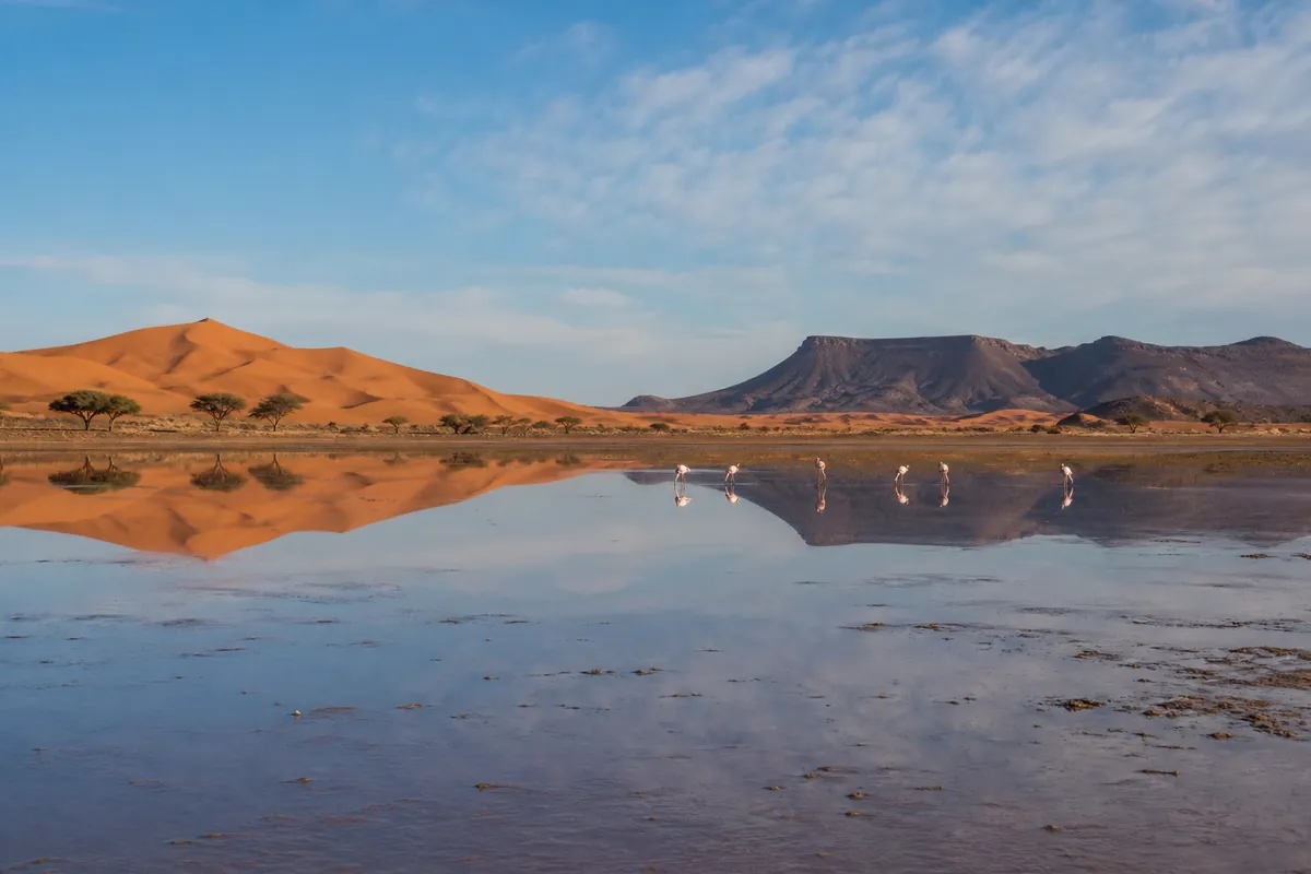
In good years, when rains temporarily refill the lake between January and March, flamingos and other migratory birds stop over — an improbable sight at the edge of the dunes. Our guides track these episodes closely: ask us about the state of the lake before you come, we cross it every week.
What to see around the lake
- The sebkha crossing — the signature moment: 20 minutes of absolute white plain, on the old Dakar route.
- The "Moroccan Colorado" (Jbel Madouar) — an amphitheatre of red rock at the lake's northern exit, at its best in low light.
- The fossil plateau — ammonites and orthoceras exposed in the bare limestone.
- The Jbel Bani rock carvings — hunting scenes engraved millennia ago, witnesses of a green Sahara.
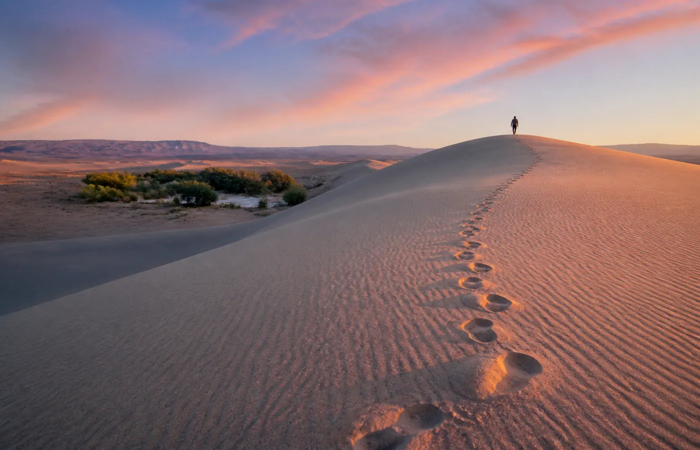
- The acacia steppe — tamarisk, raddiana acacias and, with luck, gazelles at first light.
- Erg Chigaga — the high dunes begin at the lake's western edge: most of our guests combine the lake and Erg Chigaga in a single day.
How to visit Lake Iriqui
There is no road and no public transport: the lake is visited by 4x4 with a guide who knows the tracks. Two main approaches:
| From | Track time | Notes |
|---|---|---|
| Foum Zguid (our village) | ≈ 1 h to the lake | The shortest and most varied approach: hamada, lake, Moroccan Colorado, then dunes. |
| M'hamid El Ghizlane | ≈ 2.5 – 3 h | Longer track via Erg Smar and the southern rim. |
From Foum Zguid we run a full Lake Iriqui day trip (from €80/person, nomad lunch included), or cross the lake as part of our Erg Chigaga tours with a camp night. Motorhome travellers on the N12 leave their vehicle in the village and join for the day.
Crossing the lake: what it feels like
We can describe the geology, but the essential part is elsewhere. You leave the stony track, the 4x4 drops down a low bank, and suddenly the noise stops: no more stones, no more jolts, just tyres gliding on smooth clay. Ahead, twenty kilometres of absolute white and a horizon trembling with heat. Distances lie: that black dot over there is an acacia ten minutes away, or a 4x4 an hour away. Most of our travellers ask to stop in the middle, simply to step out and hear the silence. Do it: that is the moment photographs cannot carry.
A lake born of the Draa floods
For centuries the lake worked simply: almost every year, floodwater came down the Draa from the High Atlas, ran along Jbel Bani and died here, in this closed basin. The water spread across tens of kilometres, herds converged, birds followed. The elders of Foum Zguid remember years when people fished on the lake. The El Mansour Eddahbi dam, built upstream, now holds those floods to irrigate and power the Ouarzazate region; the lake stopped receiving its share.
What remains is a paradox: a landscape created by water and sculpted by its absence. The clay floor, laid down by centuries of floods, forms the flat pale surface the place is now famous for. The tamarisks surviving at the edges drink from a water table that exceptional rains still recharge. The lake is not dead: it sleeps, and it wakes without warning.
The lake in water: a rare event
Some winters, when heavy rain hits the Draa basin, a sheet of water returns to cover part of the sebkha. The event lasts from a few weeks to a few months. Flamingos and migratory birds find it with a speed that surprises us every time: days after the flood they are there, standing between the dunes and the mountain, a world away from any coast. Photographers who catch these windows call it the finest sight in the south. We cross the lake every week: if you are planning a trip in a rainy year, write to us and we will tell you what our guides saw the day before.
Our guides' advice
- Leave early: morning light on the sebkha is the finest, and wildlife shows itself before the heat.
- After heavy rain the direct crossing becomes impossible (soaked clay) — our guides switch to the rim track; the scenery remains superb.
- Carry more water than you need and never drive the lake alone without track experience: it is vast, featureless, and there is no phone signal.
Frequently asked questions
Can you visit Lake Iriqui without a 4x4?
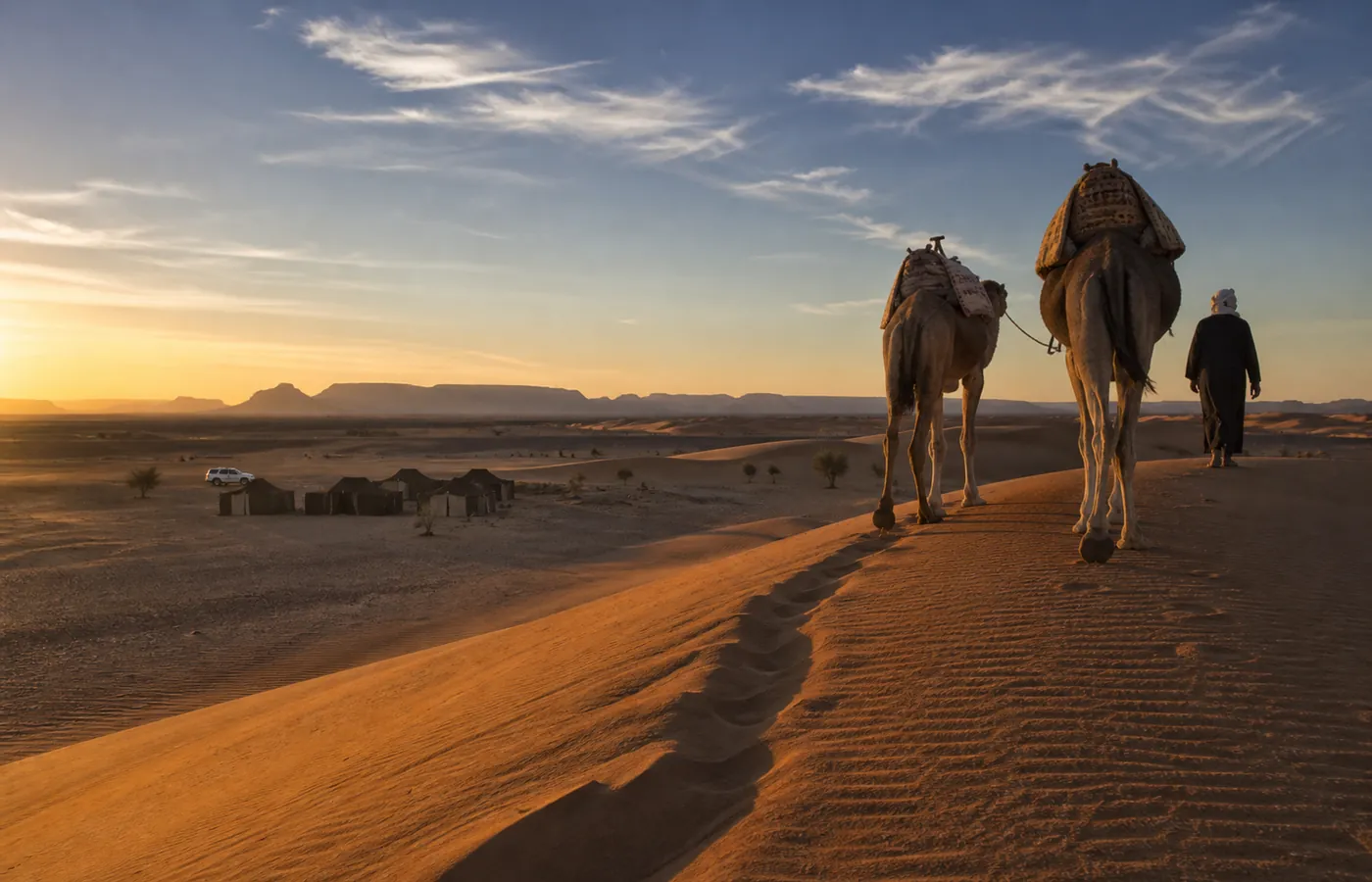
No — no paved road reaches the lake. Access is by 4x4 only (or a multi-day camel trek), from Foum Zguid to the north or M'hamid to the east. The Foum Zguid track is the shortest: you cross the lake within the first hour.
Is there water in Lake Iriqui?
Most of the time, no: it is a dry lake (a sebkha) whose white clay bed stretches to the horizon. After heavy rain over the Draa basin — a few weeks in some years — a shallow sheet of water returns and attracts migratory birds and flamingos.
Is there an entrance fee for Iriqui National Park?
There is no gate; access is free, but a guide who knows the tracks is essential. Our tours keep to the permitted routes and respect the wildlife protection zones.
When is the best time to see the lake?
October to April: soft light, pleasant temperatures and — in good years — water and birds between January and March. In summer the crossing is still possible early morning, but midday heat exceeds 45 °C.